NEXT GENERATION UAS: THE HIGHDRA
The platform
Made in Germany
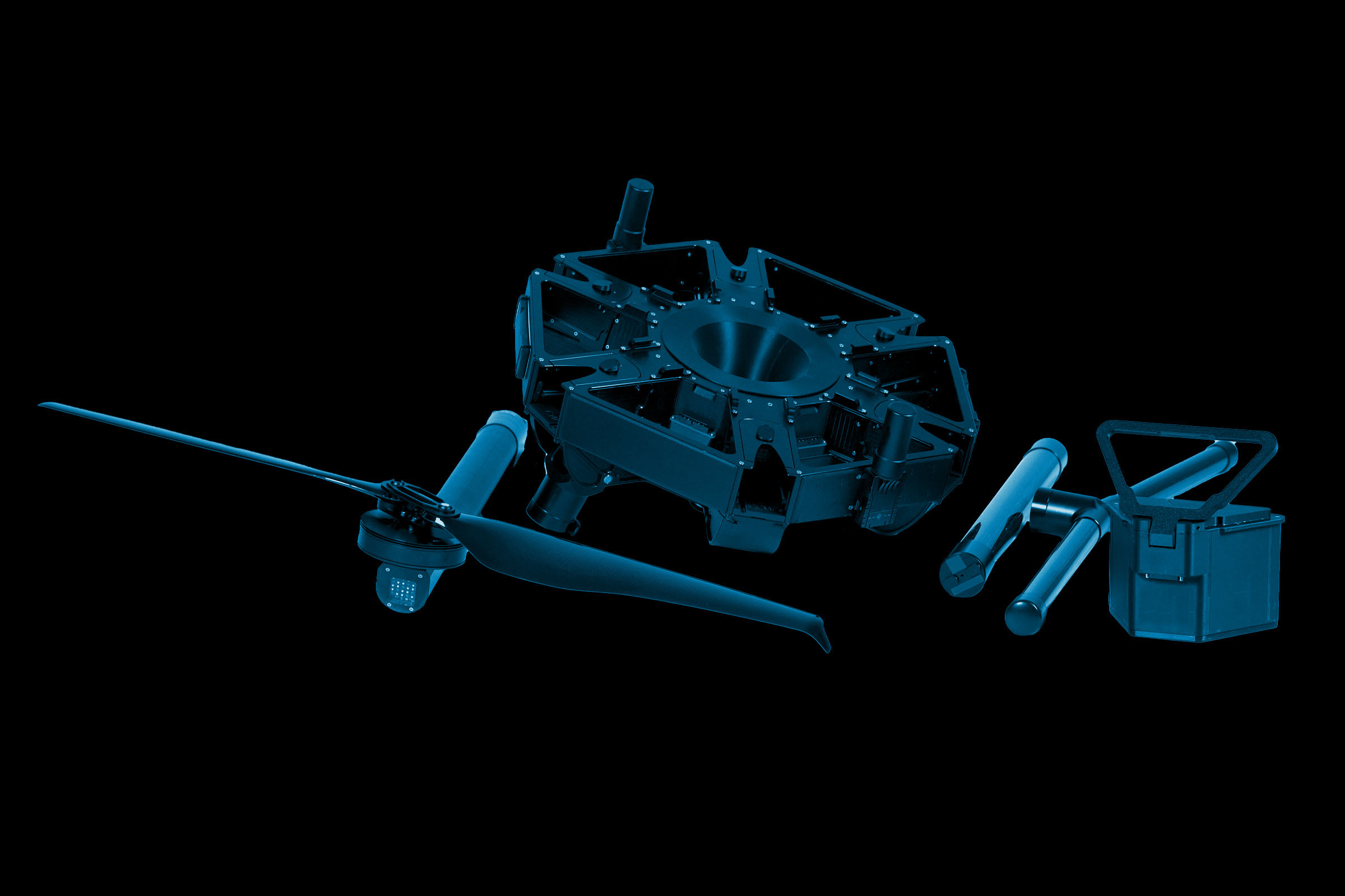
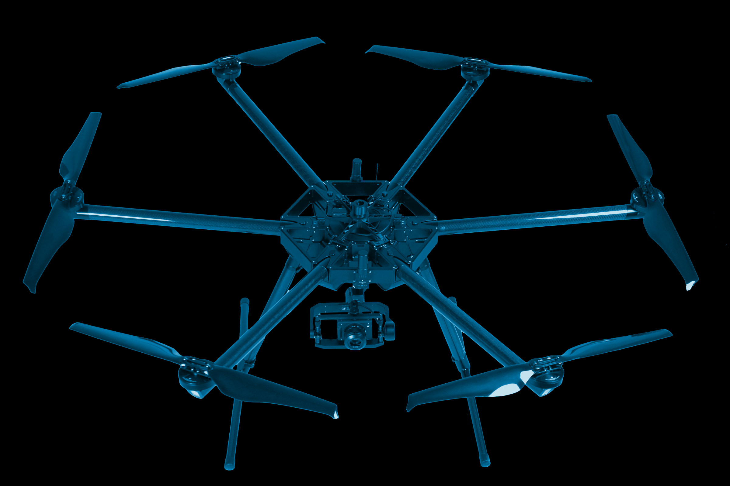
HIGHDRA is a flight platform developed and produced in Braunschweig. Tailor-made for a variety of applications and designed for maximum reliability in daily use. It can withstand the heaviest loads, sets new standards with its payload and combines efficiency and portability in an unprecedented way.
Unique Battery Concept
Power on
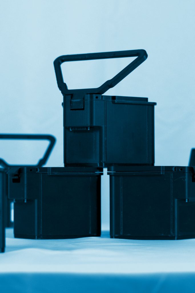
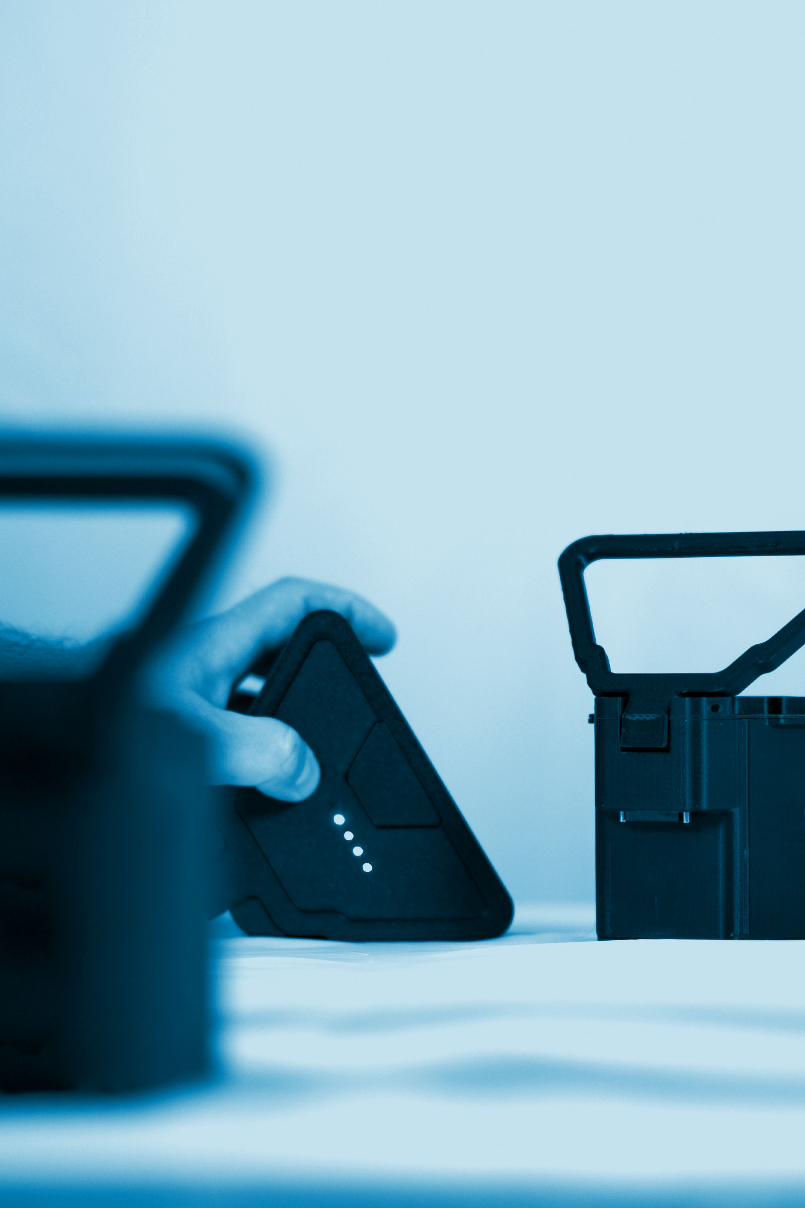
The design of starcopter batteries are the result of years of development. Our flight batteries are the actual core around which we have designed a UAS. This approach enables unmatched charge cycles. The result: sustainable power that keeps us flying long after others have already started with recycling.
Curious about Highdra?
Get to know it.
Innovative Concept
Modular lightweight design
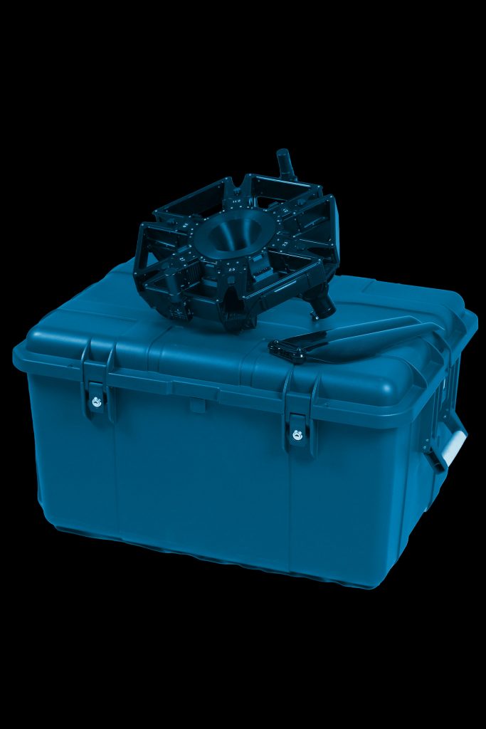
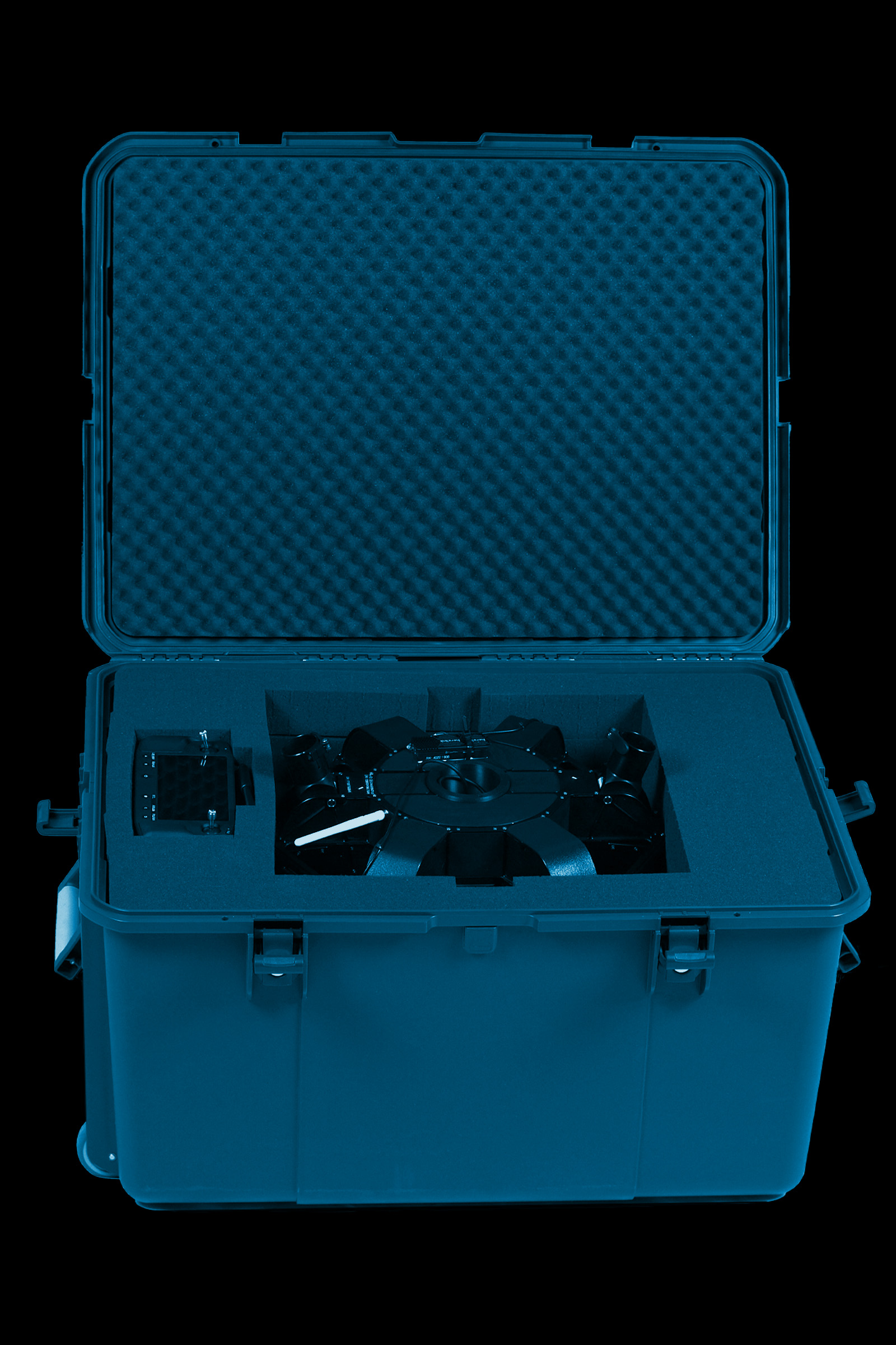
Not only aesthetically compelling, but well thought out from A to Z. A holistic overall concept that makes no compromises. A patented, modular lightweight structure. A transport box that fits in every car. Tool-free assembly and disassembly on the field. The HIGHDRA has been thought through down to the last detail. An Unmanned Aerial System that really lives up to the word "system".
HighDra – made in germany. A resilient work beast, made for professional, daily operation. offering pay per use so it's capital efficient for your business. While other drones are sititng in a corner, we have ours picked up on site after the job. For you, this means: no downtime, no high upfront investment, no aging technology without roi.
Our own software and electronics development and in-house battery production are the basis of our commitment to you. A drone solution that meets your needs and requirements and it's intuitive, efficient and unique. Technology that impresses and a service that will excite you.
Become part of the starcopter family. Others fly drones. we fly the highdra!
Pay Per Use
Only fly when the project really requires it. No downtimes and always functioning technology with the latest and best sensors for payload.
Consistent Service
Whether on the field or in the office, we are always at your side and support you with our service. Training, technical support or the delivery of a spare part are just a few examples of our cooperation. We do everything we can to ensure that you can complete your projects on time.
Battery power for professionals
We have no hidden costs for recurring investments. Our batteries make the difference and always allow for transparent and reliable price communication.
Modular lightweight design
Unique and patented. You can assemble and disassemble our HIGHDRA without tools. It fits into a case that fits into any car. The HIGHDRA combines intuitive handling, professional robustness and maximum transportability.
State-of-the-art payloads
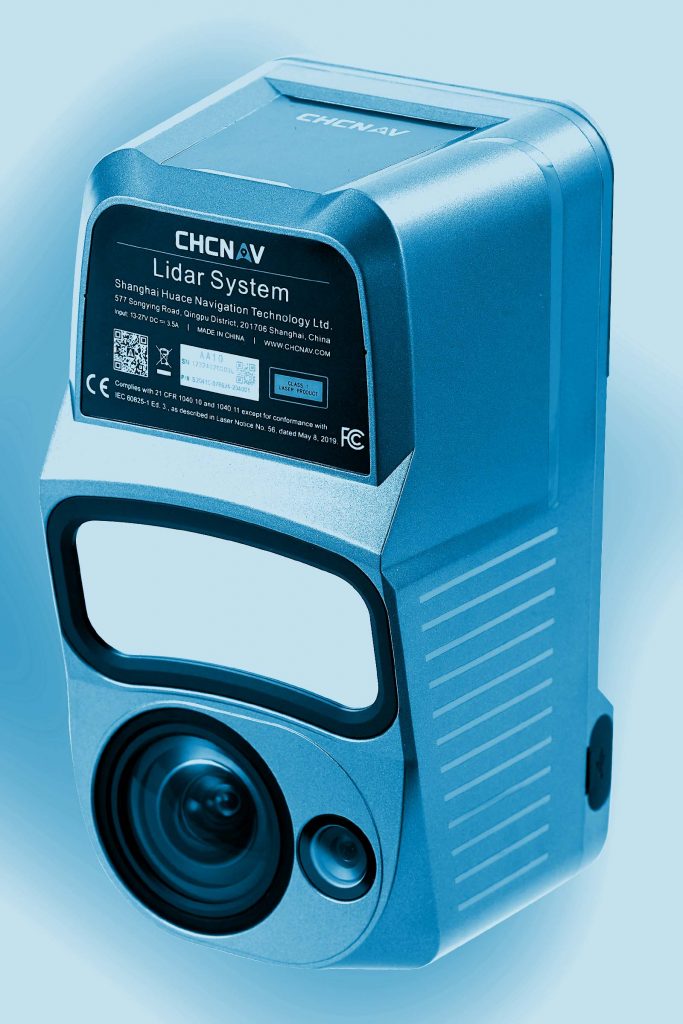
We know which tools are necessary for your daily work. With the sensors from our technology partners, we ensure that you always have state-of-the-art equipment at your disposal and are optimally equipped in the areas of camera, LIDAR and IR technology.
You plan your projects, we supply the right Tool.
Talk to us about your projects. Based on your briefing and our expertise, we define the best sensor technology for the job, which we deliver directly as a payload.
We don't only develop the latest drone technology, but also offer a selection of state-of-the-art sensors as the payload. Whether the latest lidar from CHCNAV or a 150MP camera from PhaseOne or an infrared camera from Workswell - your application defines the sensor.
We are always by your side. Curious? We are! About you and your projects. When will we get to know each other?
